Map Collection
Our map collection enables you to see how Philadelphia's neighborhoods and streets have grown and changed. Use our interactive mapping tool to overlay atlases dating back as far as 1843 over today's street layout.
Showing 41 to 60 of 62
Results for map of philadelphia
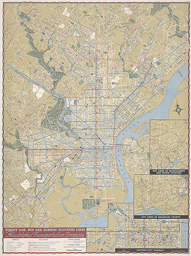
SEPTA Street and Transit Map of Philadelphia, 1971, Map
1971: SEPTA Street and Transit Map of Philadelphia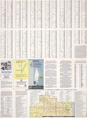
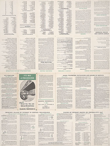
SEPTA Street and Transit Map of Philadelphia, 1971, Directory
1971: SEPTA Street and Transit Map of Philadelphia
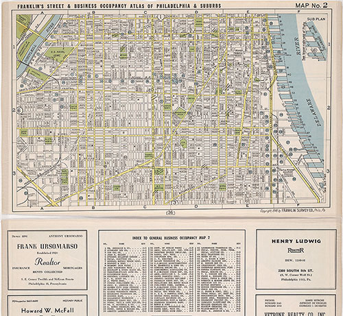
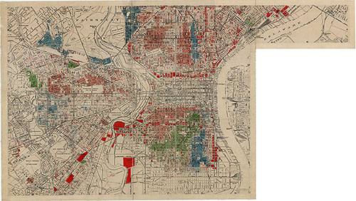
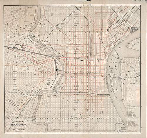
Franklin's Street and Business Occupancy Map of Philadelphia & Suburbs, 1946, Location Map 2
1946: Franklin's Street and Business Occupancy Atlas of Philadelphia & Suburbs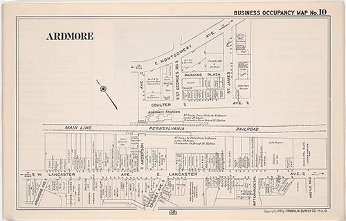
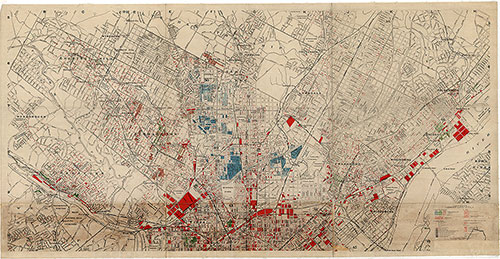
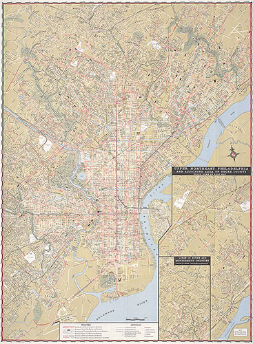
Franklin's Street and Business Occupancy Map of Philadelphia & Suburbs, 1946, Occupancy Map 10
1946: Franklin's Street and Business Occupancy Atlas of Philadelphia & Suburbs